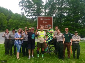
I was overwhelmed with the support of so many people today. Steve Simmons came again to run 8 miles, and his wife Nancy was a joy to meet as well. Blue Ridge Parkway personnel, including folks from the Minerals Museum, came up the hill to greet me as I came though--that was awesome! Rhonda has been by my side for days--could not do this without her. And Marc Bowen came up from Morganton and bicycled the entire 20 miles with me--leading me through tunnels and just being a great help to get me through another tough day. Thanks so much to everyone!
Day 17 Run
The run started just north of Milepost 320. After a half-mile climb, we generally had a descent to Gillespie Gap (Minerals Museum) where Hwy 226 crosses the Blue Ridge Parkway. Then came the work, about 1200 feet of climb finally ending at the Crabtree Falls entrance.
It was one great view after another across Linn Cove. But eventually an occasional view South let me know Mt Mitchell was looming. I was pretty beat by the time we reached Crabtree Falls entrance, just north of Milepost 340. Here are the details... https://connect.garmin.com/modern/activity/1195542456
Photos and Video
The App Ortho Photo of the Day
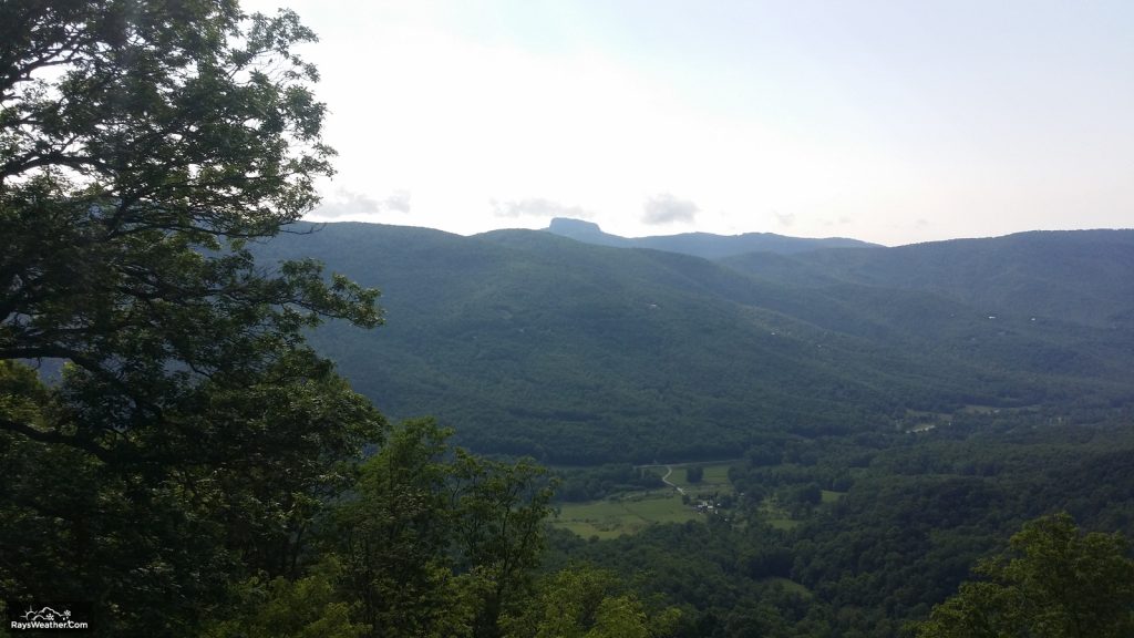
We placed 20 or so photos on http://www.BRPWeather.com/. From BRPWeather.Com, zoom the Google Map into the area around Little Switzerland to see our photos. By the way, you can upload your photos to BRPWeather.com also; just click on the Photo link and follow the process--it's quick and easy!
We made several videos today: 1) The Start, 2) Being greeted by BRP Personnel at Gillespie Gap, 3) Running through the Little Switzerland Tunnel, and 4) The End.
Location Information
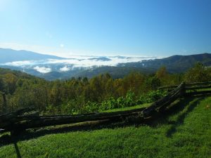
Again tonight, we are enjoying the hospitality of Hoyt Johnson and his staff at Big Lynn Lodge. On this journey, we have stay in many different types of accommodations. We love this place--a night's lodging includes dinner and breakfast in the price of the room. It's a motor lodge in the 50s and 60s style. It's authentic, comfortable, and unassuming. The staff could not be more friendly, and the location is simply beautiful.
We also had great sandwiches for lunch at Switzerland Cafe and General Store.
Parkway Attractions and History
Apple Orchard at Altapass
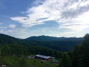
Minerals Museum
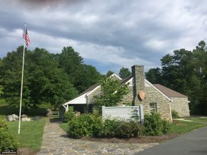
The Museum also hosts a visitor center for the Mitchell County Chamber of Commerce, with information on local businesses, attractions, lodging, food and more. A gift shop featuring souvenirs and books on Western North Carolina is located in the museum."
The Overmountain Men (from Marc Bowen)
Little Switzerland Resort
Little Switzerland resort was purchased by Heriot Clarkson and several business partners in 1909. A train stop was was relocated to about two miles away, and a toll road was built from the station to Little Switzerland. The resort was divided into lots for cottages, water and sewer lines were established, and the Little Switzerland Inn opened for business in 1910. Clarkson built a General Store and Post Office in 1911. Even a phone line was installed in 1912. Construction of other facilities continued through 1930 including Kilmichael Tower (an observation tower) and a road from Marion to Little Switzerland.
When the Blue Ridge Parkway was approved through Western North Carolina between Linville and Cherokee in 1935, it was initially viewed as a great opportunity to increase traffic in Clarkson's resort. However, the concept quickly soured with the NPS's demand of a 1000-foot right of way and the price of offered for the right of way. A lawsuit followed. Clarkson won the suit in Mitchell County Superior Court but the case was appealed to the North Carolina Supreme Court. Interestingly, Clarkson was a member of the NC Supreme Court. The Courts decision was split 3-3 with Clarkson recusing himself which allowed the lower court ruling to stand. The settlement gave Clarkson one of the highest amounts paid for land acquisition at the time and reduced the right of way to 200'.
For a detailed description of the controversy, see Super-Scenic Motorway: A Blue Ridge Parkway History by Anne Mitchell Whisnant.
Glad to hear you had continued enthusiastic company on the run today. Looking forward to hearing about your assault on the highest peak in the Appalachians and the highest in the eastern continental US – we’re with you as you conquer Mt. Mitchell tomorrow, Ray!
Whew! Interesting day to read about and see!!
Umm, might want to check your running watch, Ray. It’s got you doing a 2 minute mile…
I think you are looking at a part of a mile. Sometimes I get fooled when I look at the data also. The pace is right of the actual time column.
Don’t think so. From the webpage, near the bottom where it gives the stats, it says:
2:04 min/mi
Best Pace
–Lee
Look at the mile splits. They tell the story. The GPS does goofy stuff when it can’t get a signal (tree canopy, next to rock cliffs, and in tunnels). That gives false speeds for a few seconds (both exaggerated high and low). The number you are looking at is never a reliable measure. Those false highs and lows usually even out over the mile splits to a reasonable estimate of speed.
This has been an interesting day to read about. How many days are left?