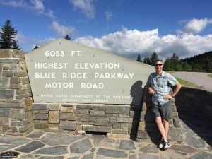
Day 22 was a day of highlights. At Milepost 431.5, we reached the highest point on the Blue Ridge Parkway--Richland Black Balsam, elevation 6053 feet. But even more exciting was that Don Lister, the only person to have ever run the entire Blue Ridge Parkway to date, drove over and found me. We had lunch in Waynesville after the run.
Day 22 Run

The day started at Milepost 420.2, just over a mile south of Graveyard Fields. Rolling hills but a net downhill for the first 6 miles allowed me quicker speeds than expected. Then the climb to Richland Black Balsam begin, reaching the peak 11.5 miles into the run. From there, it was down, down, down. Milepost 440 (missing as was 420) would have been right before the Village of Saunook Overlook. That's where we ended the run, with about 3.5 miles of descent left to Balsam Gap.
I felt great most of the day; however, 8 miles of relatively steep downhill left me with a few sore spots--quads, hip flexor, IT Band. A little heat and ice tonight should have me ready to go again tomorrow.
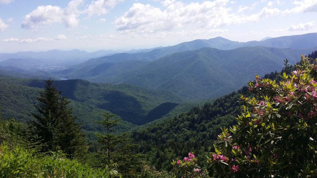
Again today, long range views were stunning. We have uploaded scores to BRPWeather.Com and will let them tell the story.
Here are details of the run... https://connect.garmin.com/modern/activity/1202872201.
Photos and Video
The App Ortho Photo of the Day

We placed today's photos on http://www.BRPWeather.com/. From the Google Map on BRPWeather.Com, zoom into the region southeast and south of Waynesville, NC, to see some spectacular long range views. By the way, you can upload your photos to BRPWeather.com also; just click on the Photo link and follow the process--it's quick and easy!
We made three videos today: the start, one at Richland Black Balsam, and the ending video.
Location Information

Weather Covered
Waite Financial
 A huge thanks to a last minute supporting sponsor Waite Financial based in Hickory and also servicing clients in the High Country.. Principle officer, Katherine Newton, has been in the financial industry for over 30 years helping clients meet their goals, providing advice and managing assets rather than selling products. A hallmark of Katherine's work is listening first, then honoring and protecting clients' intentions and dreams. In Katherine's own words, "The work I do is entirely focused on my clients and what is important to them, being careful NEVER to use investment-speak or acronyms specific to my trade. Many mornings I wake up and pinch myself, as I am incredibly grateful and happy to have the relationships I have and to do the work that I do."
Oh me, Ray. I’m about speechless that you have made this all happen. Best of luck tomorrow!!
Glad you and Mr. Lister got connected today, Ray…bet there were some “war stories” exchanged over lunch! Best wishes on that final “long” day tomorrow – hope those ups and downs are less tormenting on your legs.
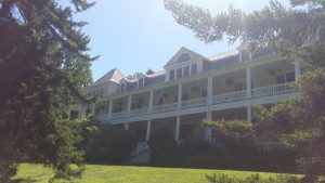
The Balsam Mountain Inn is pretty cool. They have a neat singer-songwriter event there from time to time. We did a story on them some years ago on our website.
Looking good! Near the finish! Can you believe it??