Fog, cool temperatures, drizzle, and showers dominated the day, but weather could not keep us from having a great day.
Day 1 Run
David Still started with me a ran a couple miles. The full 20-mile route was pretty tough, 3380 total elevation gain according to the google map. Here's a link to what I did: https://connect.garmin.com/
Photos and Video
We placed today's photos on http://www.BRPWeather.com/. Click on the link, then zoom into the north end of of the Parkway in the Google Map to see our photos placed on the map. By the way, you can upload your photos to BRPWeather.com also; just click on the Photo link and follow the process--it's quick and easy!
Since the weather did not allow great photos--unless you like worms, fog, road-kill, etc., we tried to create some fun videos for you.... (and check out those snazzy socks Sarah Brown at Boone Bike gave me as I was headed out of Boone Monday!)
News Coverage
Day 1 included news coverage from the Staunton News Leader and Charlottesville NBC29 TV. See http://www.newsleader.com/
Waynesboro, VA
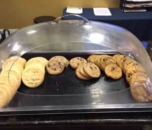
 Waynesboro has been a great place to start our journey. Many thanks to the nice folks at the Best Western Waynesboro Inn and Suites--comfortable suite, great breakfast, and cookies!
Waynesboro has lots to offer as the meeting point between Skyline Drive, the Blue Ridge Parkway, and the Appalachian Trail.
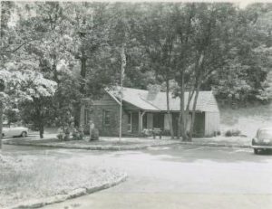
A Bit of History

Day 1 complete Ray! You make it look fun and effortless. You got this CRR ~ inspiring!.
I’m faithfully following you every step of the way, vicariously, of course!
Way to go Ray!!! Feeling honored you wore them on Day 1 …way to represent Boone, NC! It seems appropriate your first day’s weather was a dramatic one, too! May need to create a new scale to reflect wet vs dry running shoe days?!? Good Luck!!!
Hey… Those socks made newspaper photos, videos, and even a headline story on the Charlottesville TV station. Thanks!